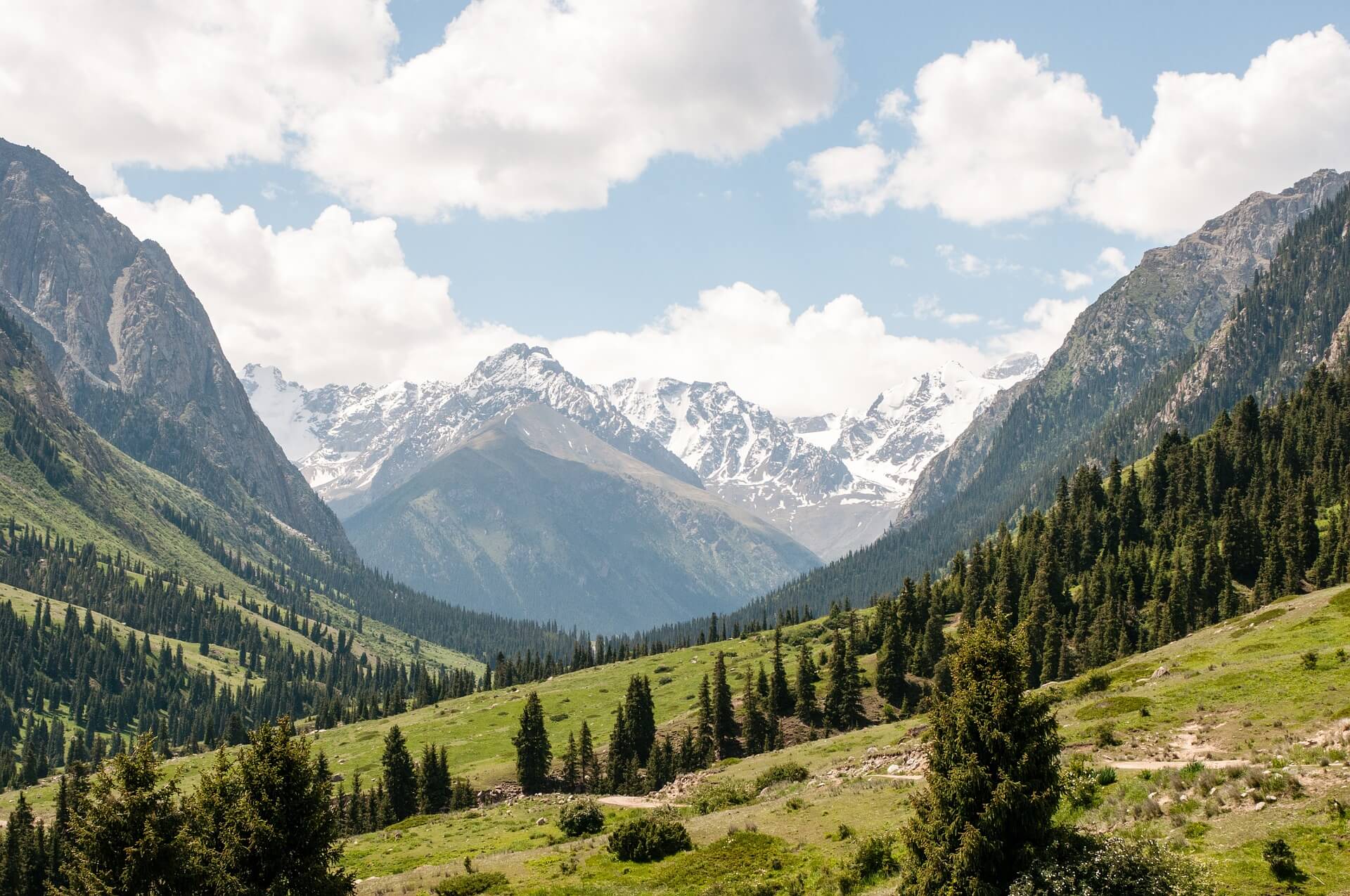

Kyrgyzstan is one of those exotic nations that few people have heard about. Even those few who are aware of this central Asian nation know little about it. However, Kyrgyzstan boasts some of the world’s most beautiful mountain scenery.
Approximately 80% of the country is covered by the Tian Shan mountain range. Within this range are found hidden lakes, picturesque waterfalls, mighty glaciers, and dramatic vistas.
A predominantly continental climate means there are sunny days over ¾ of the year and a low level of rainfall. This makes Kyrgyzstan an excellent destination for hiking adventures. Your only problem is deciding which of the many hiking trails you will explore.
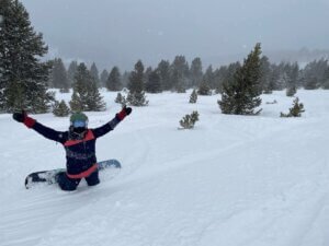
Hiking in Kyrgyzstan, you’re going to find yourself in fascinating places few outsiders have ever seen before. Take a GoPro along to capture all the magical moments. And, if you want to observe the local wildlife at night, a pair of night-vision binoculars will prove invaluable.
Preparation
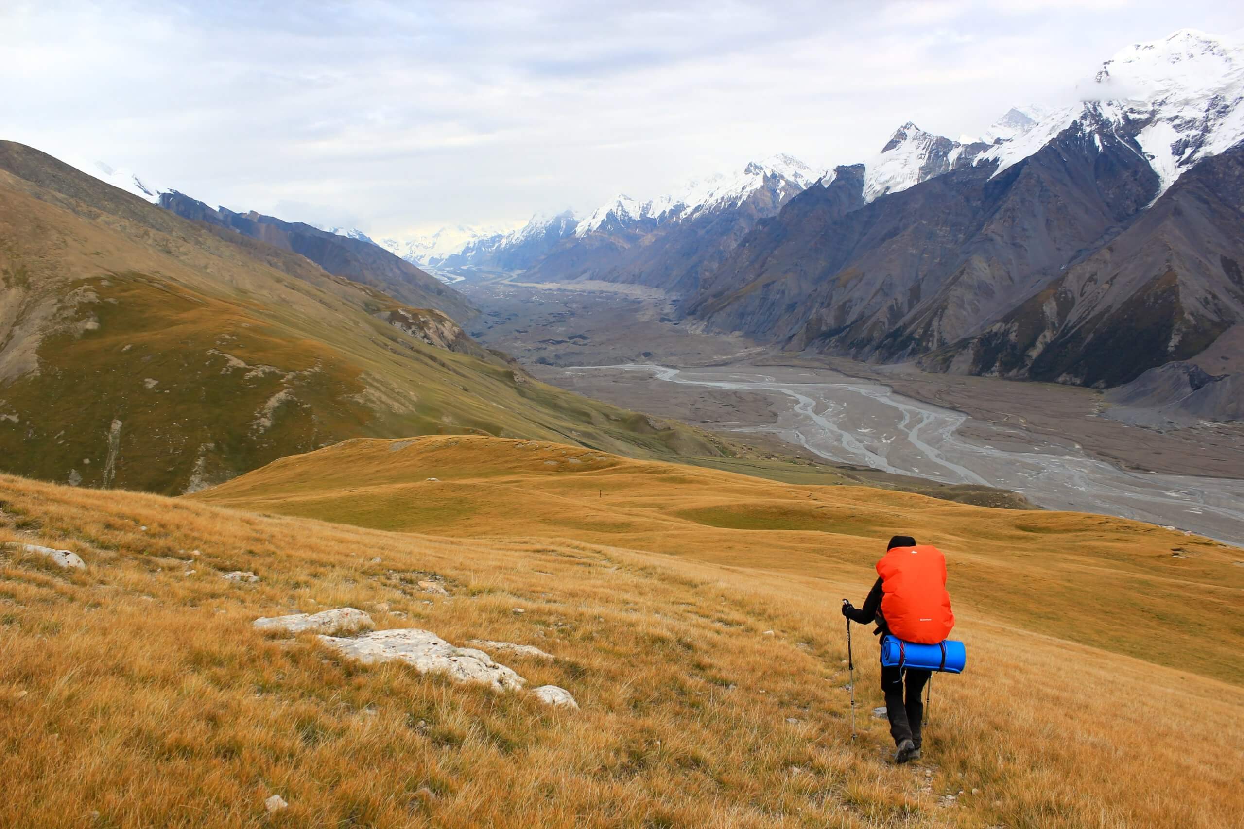
Be aware that hiking is a serious business in Kyrgyzstan. We are not talking about 2-mile loop trails you can explore in less than an hour. Most trails head into remote regions where you will find pristine rivers and lakes that see few visitors. And adventures along these trails are measured in days rather than hours.
So, you’ll need a lightweight tent that’s easy to erect but offers good protection. With routes that climb several thousand feet, you’ll also need layers carefully packed into your backpack for later and sturdy hiking shoes on your feet.
You can purchase a Kyrgyzstan trekking map as your guide or if you’re not 100% confident in your map-reading skills or the reliability of your GPS, consider hiring an expert local guide from a DMO (Destination Management Organization) office, which will be found near major trailheads. Guides charge around $36 per day.
If you want to travel in more comfort, you can hire a packhorse from a DMO office for around $19 per day. A packhorse enables you to carry more food and equipment and provides you with much more freedom of movement. However, you can’t hire a packhorse without a guide. They’re a package deal.
The Keskenkija Loop Trek from Jyrgalan
Shakta Jyrgalan is a small village in north-eastern Kyrgyzstan close to the border with Kazakhstan and not far from the border with Xin Jiang Province, China. If offers a selection of guest houses for hikers and backcountry skiers who wish to explore the Tian Shan Mountains.
You can get assistance for hiking in this area from the DMO office, which is inside the Alakol Jyrgalan Guesthouse. Whether you wish to hire a guide or explore by yourself, you should still register your hiking plan with the DMO so that somebody knows you’re out there.
The Keskenkija Loop is a 40-mile loop trail that begins and ends in Shakta Jyrgalan and should take 4 days. The route is signposted using rocks painted with red arrows, and you can obtain a map of the trail from the DMO office. Because the route is at a high elevation, it’s best to hike here from June through September. Keener hikers can follow an alternative 7-day Super Loop.
The highlights
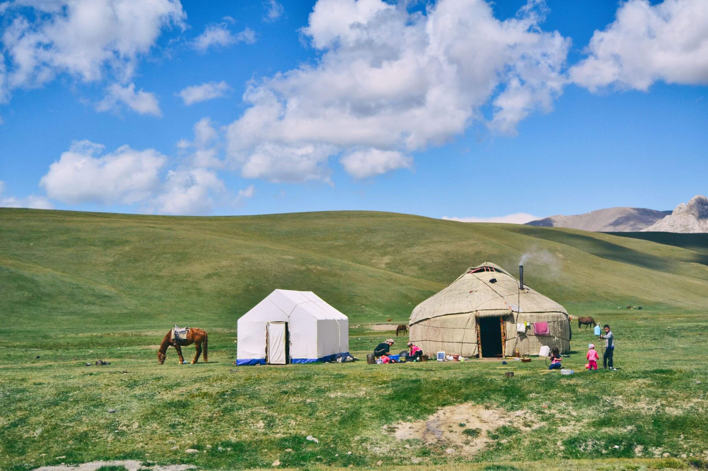
The regular route first goes south. You cross the river and then follow it uphill toward its source. A shepherd’s path takes you through the forest and deeper into the Jyrgalan Valley. At the end of the initial trail, you’ll enter the Eki Chat Valley where you’ll find local shepherds and yurts where you can purchase lunch for around $6.50 or stay overnight for around $21.50. Not far south from here, you’ll find viewpoints of breathtaking vistas.
After traveling a little further south, you turn east to pass through Jyrgalan Pass. You have quite a climb up to this pass, which sits at an elevation of 10,932 feet. The highest point of the pass is marked by a cairn, and you’re invited to add your own stone in passing. From there, you can admire views of jagged peaks in every direction.
Once through the pass, you’ll have to ford the Tup River. This is a challenge in spring when the river is in full flow. At moments like this, it’s best to have a local guide along! However, spring is the best time of year to admire the valley beyond the river, which becomes a colorful tapestry of wildflowers. After crossing the river, you’re headed back north.
You’re climbing again and will see interesting mountain peaks shaped like beehives. Your aim is the Goatasaurus Pass, which sits at an elevation of 11,089 feet. This provides you with the best views of the hike, with towering mountain peaks and powerful rivers flowing between.
Along the final route back to Shakta Jyrgalan, you’ll pass many stunning blue Alpine lakes and navigate through more high mountain passes. You’ll also follow a riverbank through a picturesque gorge. If you’re lucky, local Kyrgyz you meet along the way may invite you to take tea with them or even share a bowl of noodles.
Following the Silk Road from Tash Rabat to Chatyr-Kul
This is a great 2-day trek for history buffs. In ancient times, Tash Rabat was one of the key stops along the Silk Road from China to the west. It is a 15th-century caravanserai (an inn where members of a caravan could stay) in south-central Kyrgyzstan at an altitude of 10,500 feet.
The hiking route takes you south into the Tian Shan Mountains past rounded peaks coated in lush green vegetation. You’ll cross through the Tash Rabat Pass at an elevation of 13,123 feet to Chatyr-Kul, which is one of the largest lakes in Kyrgyzstan. The pass provides spectacular panoramic views over the surrounding countryside, including the lake.
Chatyr-Kul is an alpine lake surrounded by the Karatal-Japyryk State Nature Reserve, which is noted for its biodiversity. Just south of the lake is the Torugart Pass, which sits at an elevation of 12,310 feet. This pass provides a border crossing into Xin Jiang Province, China.
From Karakol to Ala-Kul Lake
Karakol is the 4th largest city in Kyrgyzstan and a popular starting point for many hiking adventures. The most popular trail from Karakol takes you southward to Ala-Kul Lake, an alpine lake in the Tian Shan Mountains at an elevation of 11,680 feet. Ala-Kul is breathtakingly beautiful.
You can purchase a trail map from the Karakol Tourist Information Center at 130 Abdrahmanov Street. The 28-mile round trip generally takes around 3 days and is the most popular hiking route in the country. Because so many hikers make this journey, there are yurts along the way to accommodate tourists. However, it’s essential to book these in advance.
The return hike to Karakol passes Altyn Arashan, a mountain resort that features indoor and outdoor hot springs. Some visitors opt to stay in a yurt near the outdoor springs and use Altyn Arashan as a base for exploring the surrounding mountains and valleys. It offers the advantage of a hot spring bath every night after you return from your strenuous hike.
Concluding Thoughts
No matter your skill set, this incredible country has something for everyone and some of the least visited natural areas in the world. When planning your next hiking adventure make sure Kyrgyzstan is on your list.
*This guest post was provided by outsidepursuits.com